Getting here
The drive to Camas Valley, from anywhere in Oregon
About how long the drive takes from seven Oregon cities, the last miles on Highway 42, and how to check the roads before a winter trip.
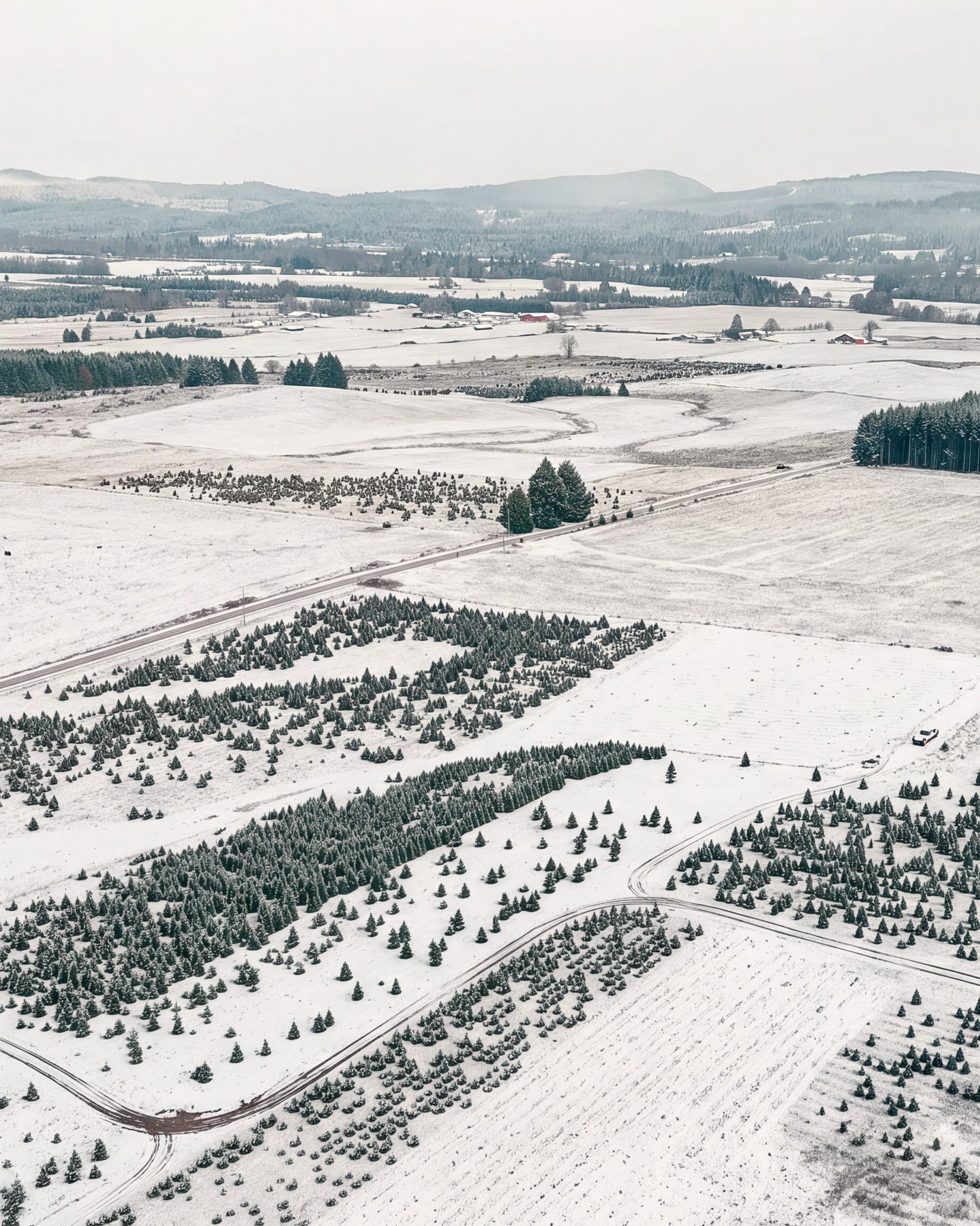
Camas Valley sits in the hills west of Roseburg, on Highway 42, the road that runs from I-5 out to the coast at Coos Bay. From most of western Oregon that makes the farm an easy day trip. Here is roughly how long it takes, and what helps on the day.
How long the drive takes
These are estimates from a routing service using OpenStreetMap roads. They are driving time only, without stops, rounded to the nearest five minutes. Traffic, weather and a stop for coffee will all add to them.
- Roseburg: about 40 minutes, around 29 miles
- Coos Bay: about 1 hour 15 minutes, around 58 miles
- Eugene: about 1 hour 45 minutes, around 100 miles
- Medford: about 2 hours, around 110 miles
- Salem: about 2 hours 45 minutes, around 162 miles
- Portland: about 3 hours 30 minutes, around 205 miles
- Bend: about 4 hours 5 minutes, around 204 miles
From Portland, Salem, Eugene and Medford the route is I-5 to the Highway 42 exit just south of Roseburg, then west on Highway 42. From Coos Bay it is Highway 42 east. The route from Bend crosses the Cascades on Highway 138 past Diamond Lake and comes down to Roseburg, which is worth extra care in December.
The map on our Visit page draws each of these routes over the terrain, so you can see the whole drive before you leave.
The last few miles
Leave I-5 just south of Roseburg onto Highway 42 toward Coos Bay. Follow it west through Winston, about 23 miles, into Camas Valley. The farm is at 920 Denn Rd.
Put 920 Denn Rd into your phone’s maps app before you set out. If anything on the way looks unclear, pull over safely, or have a passenger call the farm.
Check the roads before you go
Oregon in late November and December can mean rain, fog, ice or snow, sometimes all in one trip. The Oregon Department of Transportation runs TripCheck, which shows road conditions and images from highway cameras across the state. Most of the cameras update every few minutes. You can also dial 511 for the same road information by phone.
Two habits make the drive easier:
- Look the night before and again in the morning. Conditions on a mountain pass can change overnight. If you are coming from Bend or over any pass, check that stretch in particular.
- Know the chain law. Oregon’s chain law covers every highway in the state. When signs say so, you must carry chains or use traction tires, and when signs require chains, put them on. Traction tires means studded tires or tires rated for severe snow, not ordinary all-season tires, and during a conditional closure even they are not enough. If you are crossing a pass, carry chains anyway. TripCheck explains the details.
Our own conditions can change with the weather too. If there is a change at the farm, we post it at the top of every page on this site. If you are unsure, call the farm before you leave.
Leave a little earlier than you think
Around the open weekends the sun sets at about 4:40 in the afternoon in Camas Valley. Coming early gives you daylight for choosing, cutting and tying the tree on, and for the drive home.
Before you get in the car
A short checklist for the morning of your visit:
- The address, 920 Denn Rd, Camas Valley, saved in your maps app
- Roads checked on TripCheck
- Clothes and boots for the weather
- Tie-downs or straps that suit your car or roof rack
- Your ceiling height and the width of the spot where the tree will stand
- The liability waiver, filled out ahead of time if you can
Everything else about the day is in the 2026 U-Cut guide.
Sources: drive times from the Valhalla routing service on OpenStreetMap data, rounded to five minutes; road conditions, cameras and 511 from ODOT TripCheck; chain rules from TripCheck's Oregon chain law page; sunset times calculated for the farm's location with the NOAA solar method.